


Descripción
QGIS 3.4 for Windows is a GIS/SIG geographic information system software, designed to create, view, edit, analyze, and manage geospatial information using maps, layers, coordinates, vector data, raster data, and cartographic tools.
It is ideal for engineers, surveyors, geographers, urban planners, architects, students, municipalities, environmental consultants, and GIS professionals who need to work with maps, cadastres, plans, territorial analysis, satellite images, spatial data, and planning projects from Windows.
Key features
• GIS/SIG software for cartography, mapping, and geospatial analysis.
• Allows working with vector layers, raster layers, shapefiles, GeoPackage, coordinates, and spatial databases.
• Ideal for cadastral, surveying, urban planning, environmental, infrastructure, and territorial projects.
• Includes tools for map editing, symbology, georeferencing, spatial analysis, and print layout.
• Compatible with geographic services and formats such as WMS, WFS, GeoTIFF, SHP, KML, and other GIS formats, depending on configuration.
• Recommended for users who need a technical tool to visualize, analyze, and present territorial information.
Ideal for
• Civil engineers, surveyors, and GIS professionals.
• Geographers, urban planners, architects, and environmental consultants.
• Municipalities, institutions, infrastructure companies, and cadastres.
• Students and teachers working with maps, coordinates, layers, and spatial analysis.
• Users who need to create thematic maps, territorial plans, and geographic reports.
Recommended requirements for Windows
• Operating system: Windows 10 / Windows 11 64-bit recommended.
• Processor: Intel or AMD 64-bit, multicore recommended.
• RAM: 4 GB minimum / 8 GB or more recommended for medium projects.
• For heavy projects: 16 GB or more if working with satellite images, large rasters, or extensive databases.
• Storage: available space for installation, projects, layers, maps, plugins, and geospatial data.
• Graphics: card compatible with map visualization and basic graphics acceleration.
• Recommended: SSD, good RAM, and Full HD display for working with large maps, multiple layers, and geospatial analysis with greater fluidity.
Important note
QGIS 3.4 is an old version of QGIS, useful when compatibility with specific projects, plugins, or workflows is required. For modern use, it is recommended to verify if the client needs exactly this version or a more recent version.
QGIS is free and open-source software. Its use does not replace the technical judgment of a professional in geography, surveying, engineering, cadastre, or territorial planning. The accuracy of the results depends on the quality of the data, the coordinate system, the project configuration, and correct technical interpretation.
Differences between alternative license and original license
This information is included so that the client clearly understands what type of installation they are acquiring and what functions they can expect depending on the chosen option.
Alternative license / managed installation: in the case of QGIS, as it is free and open-source software, it does not work the same as commercial software with an original or alternative license. The value corresponds to the preparation, installation, configuration, delivery of the compatible installer, and technical assistance to make the program functional on the computer where it is installed. It allows using the program to create maps, edit layers, analyze geospatial data, save projects, and work with GIS information from Windows.
Original license / official software: QGIS can be officially downloaded from its public channels as free software. This option allows access to official versions, documentation, community, available updates, and compatible plugins according to the installed version.
For business, corporate, governmental, academic, or institutional use, Luctecno recommends always using official installers, verified versions, and appropriate configurations for the work environment, especially when handling territorial data, cadastres, infrastructure, or sensitive information.
Note: The installation and configuration performed by Luctecno are linked to the computer where it is installed and are not transferable.
Preguntas frecuentes
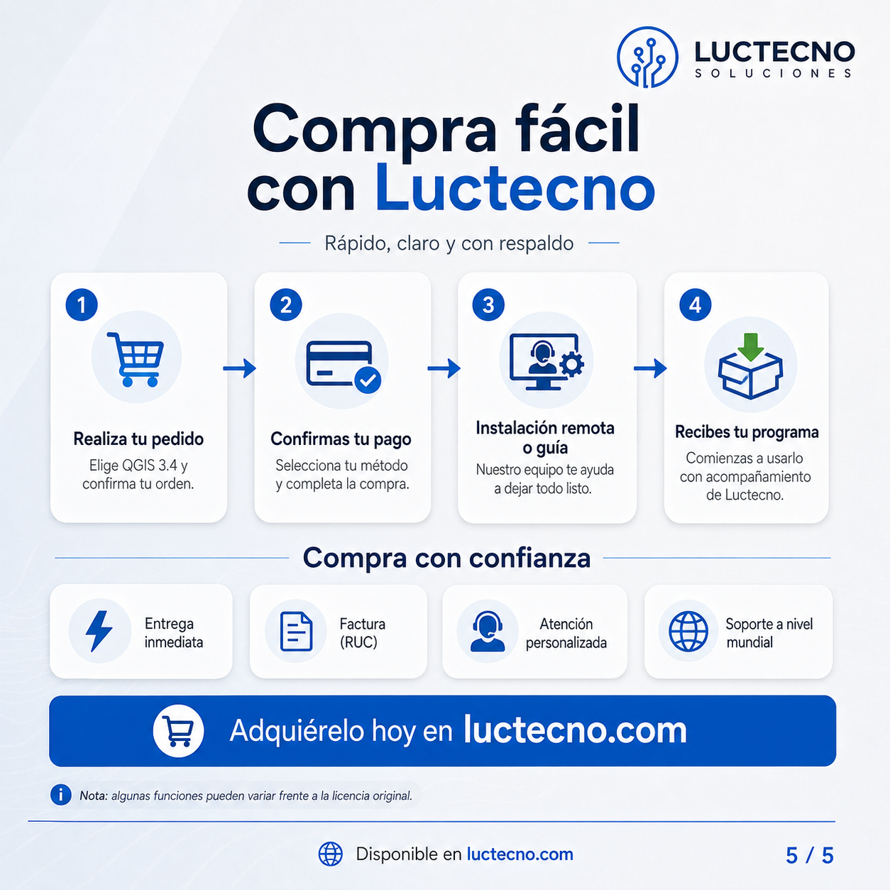
¿Cómo compro y recibo mi producto?
Puedes comprar con “Comprar ahora” o por WhatsApp.
• Si es software/licencia: te lo entregamos de inmediato y realizamos instalación remota (sin costo extra).
• Si es producto físico: coordinamos entrega en Quito y Valles (1–3 horas aprox.) o envío a provincias por Servientrega (1–2 días aprox.).
¿Qué necesito para la instalación remota?
Para software/licencias: solo necesitas internet estable y acceso al equipo. Te guiamos paso a paso para conectarnos de forma segura y dejar todo funcionando.
¿Cuál es la diferencia entre licencia alterna (no original) y licencia original?
Licencia alterna (no original): es pago único, más económica, se instala/activa directo en el equipo,
no es número de serie y no usa cuenta ni suscripción (durabilidad de por vida). En Adobe/Autodesk alterna no incluye IA.
Licencia original: se activa con número de serie (Windows/Office/antivirus) o mediante cuenta/suscripción (Adobe/Autodesk),
con vigencia según el plan contratado e incluye funciones/IA cuando aplique.
¿La licencia es transferible a otra PC?
No. Por política de activación, estas licencias no son transferibles: una vez instalada/activada en un equipo, solo funciona en ese mismo equipo y no se puede transferir a otro.
¿Emiten factura?
Sí. Emitimos factura (RUC) para respaldo real en Ecuador.
¿Qué seguridad tengo antes de comprar?
Compra con confianza: ofrecemos instalación remota (en software), entrega inmediata y factura (RUC). Si tienes dudas, escríbenos por WhatsApp y te asesoramos antes de pagar.